File:Deois STAR map Landing west.png
From Rise: The Vieneo Province


Size of this preview: 600 × 600 pixels. Other resolution: 1,184 × 1,184 pixels.
Original file (1,184 × 1,184 pixels, file size: 316 KB, MIME type: image/png)
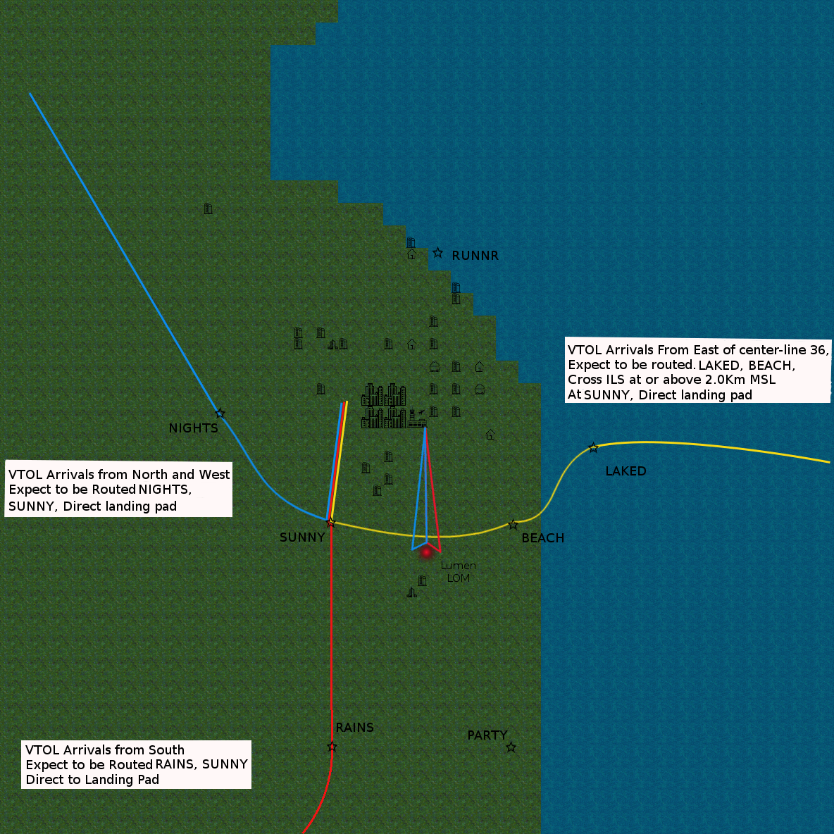
Approach plate for VTOL landing West of runway.
File history
Click on a date/time to view the file as it appeared at that time.
| Date/Time | Thumbnail | Dimensions | User | Comment | |
|---|---|---|---|---|---|
| current | 15:10, 16 June 2017 | | 1,184 × 1,184 (316 KB) | rana (talk | contribs) | Yeah... I missed the Arrival instructions from the south. |
| 15:01, 16 June 2017 | 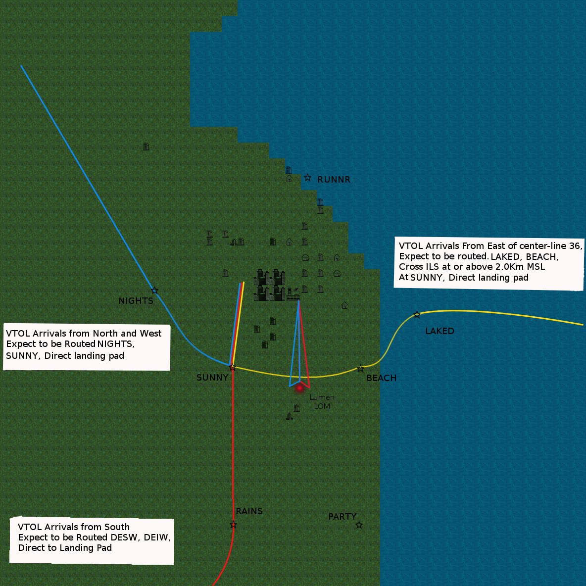 | 1,184 × 1,184 (320 KB) | rana (talk | contribs) | Yes I had to fix the test boxes with the new Waypoint names. one more to go. | |
| 14:25, 16 June 2017 | 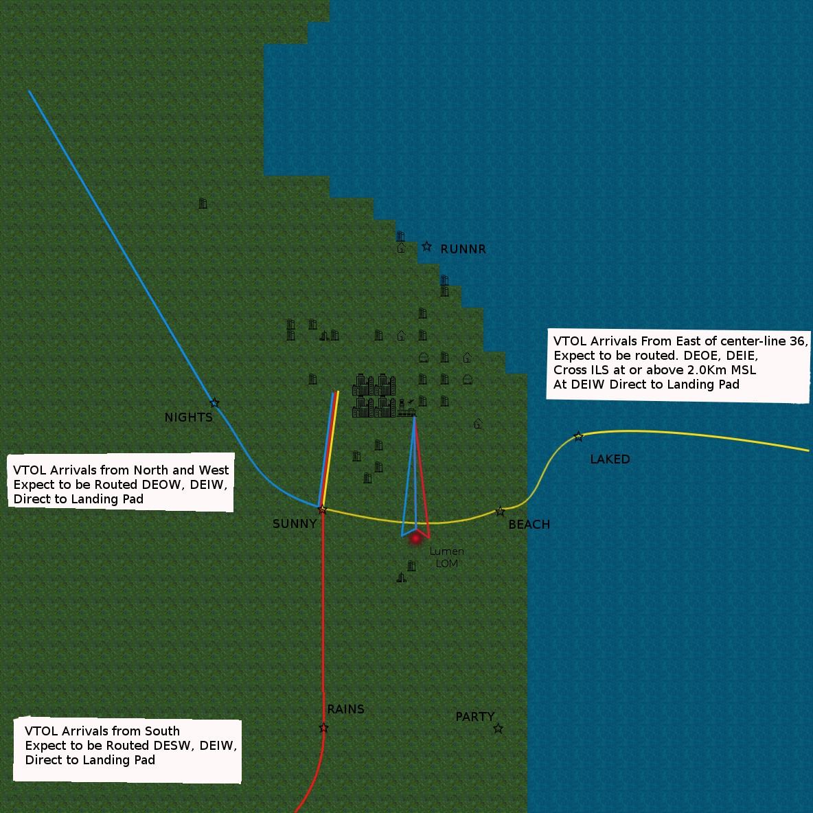 | 1,184 × 1,184 (316 KB) | rana (talk | contribs) | Fixed the Waypoints to words that you can say. | |
| 03:38, 16 June 2017 | 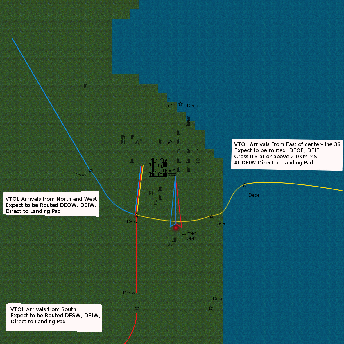 | 1,184 × 1,184 (312 KB) | rana (talk | contribs) |
You cannot overwrite this file.
File usage
There are no pages that use this file.
